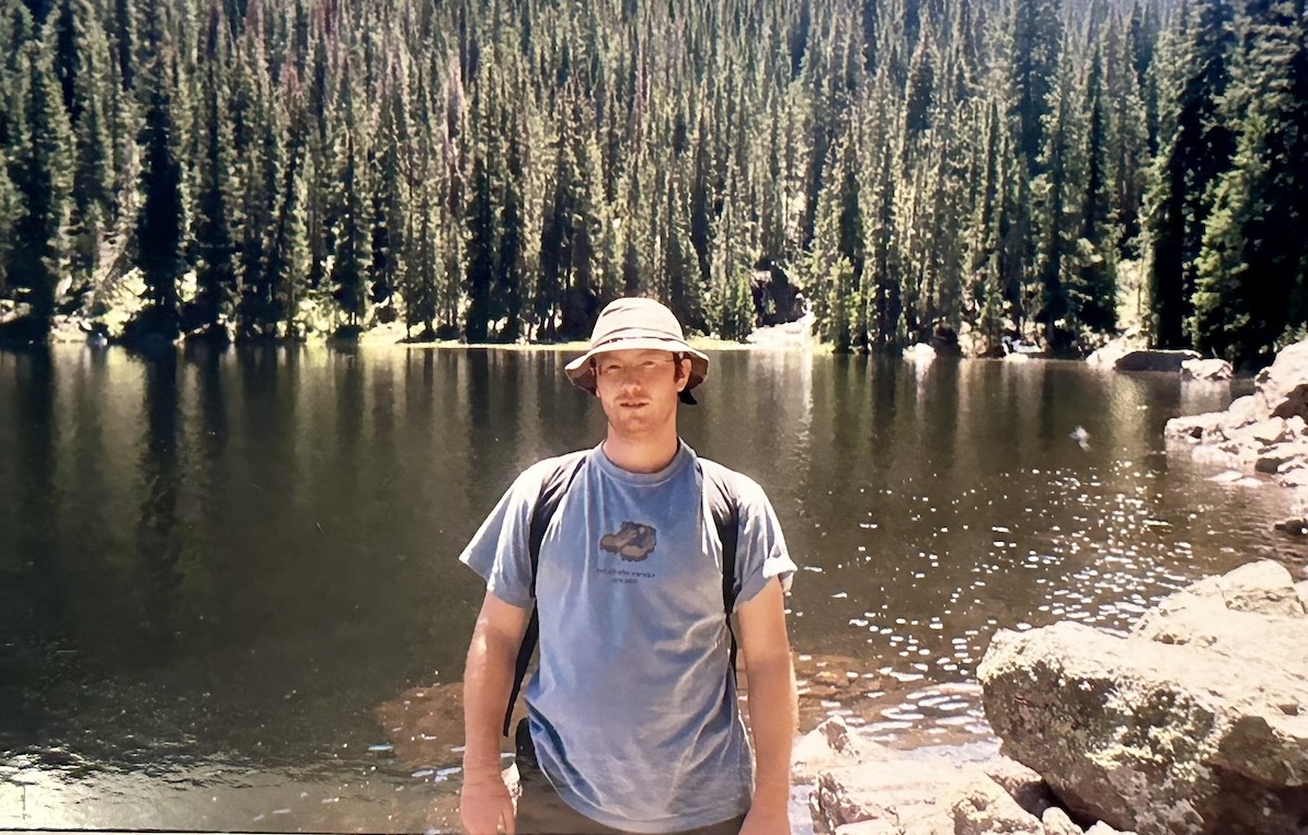
Moons ago upon completing a three-day hike in the Rocky Mountains I happened into an outfitters store in Estes Park and came across the perfect T-shirt. Powder blue, a pair of hiking boots emblazoned on the front, it had the inscription, “Not all those who wander are lost.”
“That’s so me!” I thought and I bought the darn thing.
Turns out I am one of millions of wandering souls who fell smitten for the quote written by J.R.R. Tolkien as part of a poem dedicated to dashing king Aragorn in Lord of the Rings. Modern artists have used the line as song and album titles. People have it tattooed on their side boob.
I proudly wore the T-shirt at music festivals where girls in bumblebee costumes waving glow sticks like tweaked-out wood nymphs passed out under Ford Tauruses.
I wandered. Sometimes I got lost.
They say Uracca Mesa in New Mexico is haunted. Phantom horse stampedes wake you in the night. The glowing orb of the mountain imp bobs and weaves through the trees. The apparition of the lost Boy Scout might join you on your hike.
It was at Uracca Mesa from which I launched my most epic hike in the summer of 2001. It was my last day as a mountain ranger. As a mountain ranger, you are by duty sworn to undertake the most ridiculous hikes to ensure bragging rights at the next off-night soiree at Cold Beer Tavern. Whether it’s hiking 50 miles in one day while carrying an iron pickaxe, or reaching the summit of Mount Baldy with full packs in time for sunrise.
I spent my last day as a mountain ranger on Uracca Mesa. Embarking on a 40-mile solo hike, this was my last chance to prove I had balls of iron.
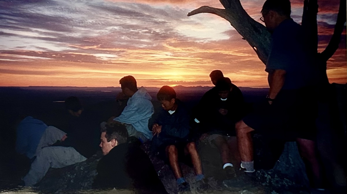
The trek started by catching sunrise on a rock outcropping on Uracca Mesa before heading up the mesa itself. The scraggly pin oaks and juniper brush alongside the trail are gnarly, which enhances the mesa’s eerie reputation.
Upon reaching the flat top, three husky bovines greeted me amongst the morning mist. I said good morning to the cows, crossed the top of the mesa, and headed down the trail – in the wrong direction. Two miles later I came upon an errant tuna can that a black bear had pried open with its teeth. The can was licked clean to the bottom, leaving an inverted cone of tuna caked to the sides like silly putty. Like haunted silly putty.
I turned around to find the correct trail.
My plan for the day was to peak six mountains and arrive back at base camp at nightfall. I had a mandatory meeting the next morning at 8am.
I made it to Trail Peak and passed the twisted metal remains of an airplane wreckage. I made it to Black Mountain. I skipped Bear Mountain. There was no trail to the top. Having already gotten lost on a well-marked trail, it didn’t seem prudent to trailblaze up a strange mountain.
I made it to the top of Big Red and took naked selfies.
When I made it to the camp at Shaefer’s Peak, the would-be sixth peak, it was dark. I had hiked more than 30 miles. I had been to this campsite numerous times. Still, I was delirious. I started down several trailheads only to hit dead ends. I decided to pitch my tent and get a few hours of sleep.
I woke up in time to catch sunrise at the Tooth of Time and jog the last seven miles in my pajamas in time to make my 8am meeting.
What is the point of the story? In that one day, the distance I hiked is longer than the island of Singapore. Sure, you can get lost in Singapore, but finding woods in which to wander is an effort in futility.

When Singapore gained independence some 60 years ago the directive was to modernize as quickly as possible, and thus a concrete and steel metropolis was erected on top of a jungle swamp.
With urbanization successfully complete, and now entrenched as the financial and tech hub of Southeast Asia, Singapore has turned its eyes towards providing soft amenities for its wealthy citizens. This means hiking trails and greenspace.
You have the hiking trails at Rifle Range Nature Park that opened in late 2022. The 24-kilometer-long Rail Corridor reopened in 2021 after extensive upgrades to the trail.
More are on the way. Here are the hikes we have taken thus far in Singapore. (Though it is difficult to justify calling these hikes—more like long walks in nature.)

1. Bukit Timah Nature Reserve
If you want to go hiking in Singapore, this is where you start. Bukit Timah (163m) is the highest point in Singapore, which is like saying Des Moines is the biggest city in Iowa. Singapore doesn’t have mountains, just like Iowa doesn’t have big cities.
And there are about the same number of people hiking Bukit Timah in a single day as there are people living in ol’ Iowa’s capital city.
Just as Des Moines has hip coffee shops and farmer’s markets, Bukit Timah has wild lizards and monkeys, so off we go.

The main route on the Bukit Timah Nature Reserve Trail is a mere 1.2km and is listed as easy to moderate. It starts from the Bukit Timah Nature Reserve Visitor Centre, which has a nice exhibit on local wildlife.
Overall the main trail is family friendly and you don’t have to be the peak of fitness to complete the journey. As a family of four we completed our journey in time for lunch (and after an early start).
I’ve peaked Bukit Timah twice, and neither time was impressive. There is a picnic shelter and a telecommunications tower at the top of Bukit Timah. The summit is surrounded by a wall of trees, so there is no view.

The nice thing about hiking in Bukit Timah Nature Reserve is there are plenty of offshoot trails you can take that are more rugged and challenging, allowing you to wander in the jungle wilderness in peace and quiet.
You can extend your hike and connect to the Rifle Range Nature Park, Dairy Farm Nature Park, or the Rail Corridor and break a sweat and make a real day of it.
Where it’s at: https://maps.app.goo.gl/M7NiZgekWnEsvMsf7
Trail map: Link
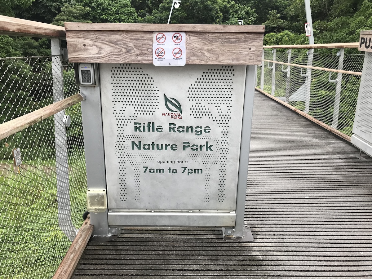
2. Rifle Range Nature Park
Just south of Bukit Timah, the newly minted Rifle Range Nature Park is my favorite place to take our kids (ages 7 and 9) for a day hike. Less than two years old at the time of publication (Rifle Range Nature Park opened in November 2022), the park has a modern visitor’s center with clean bathrooms, well-built boardwalk-style trails, and a nature trail designed specifically for children.

Everything is powered by solar energy, making Rifle Range Singapore’s first net positive energy nature park. Though honestly, shouldn’t all nature parks be net positive in terms of energy consumption?
Anyway, the origin of the Rifle Range Nature Park’s name isn’t as exciting as it sounds. It is in fact named after the road that led to the former Bukit Timah Rifle Range used by Singapore’s volunteer forces prior to World War II.
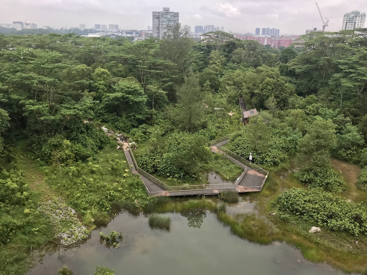
The main attraction of the park is the former Sin Seng Quarry, once Singapore’s deepest quarry. It has since been backfilled and developed into a wetland reserve. There is a nice raised boardwalk that leads you through the wetlands. Stand still for any given amount of time and you are guaranteed to witness a variety of wildlife.
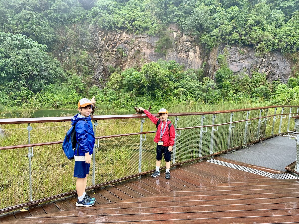
From the wetlands, take the Colugo Trail to the lookout deck 31-meters above the quarry. The trail is 583 meters, so not rigorous by any stretch. Round-trip you will get in just over 1km, so perfect for kids. We completed the hike within one hour. The overlook provides a lovely view of the quarry below and the Singapore cityscape.
As my oldest son said, “I guess we can come back here.” That’s a ringing endorsement if I’ve ever heard one.
The added bonus of Rifle Range Nature Park is there are well-maintained nature trails leading further into the jungle. You can follow them all they way to Bukit Timah, which in turn can lead you to Dairy Farm Nature Park. You can do everything from a short hike during your lunch break to a full day of somewhat strenuous hiking.
Where it’s at: https://maps.app.goo.gl/17itQdJVofWuwMu26
Trail map: Link

3. Dairy Farm Nature Park
Last but not least of the Bukit Timah trifecta is Dairy Farm Nature Park. Rifle Range is on the south border of Bukit Timah. Dairy Farm is on the north border.
Dairy Farm Nature Park offers a variety of outdoor activities you won’t find at its southern neighbors. Firstly, it has mountain bike trails. I haven’t tried them, but I’ve heard from locals who have that they are quite nice. So if mountain biking is your thing then by all means hit the trails at Dairy Farm.
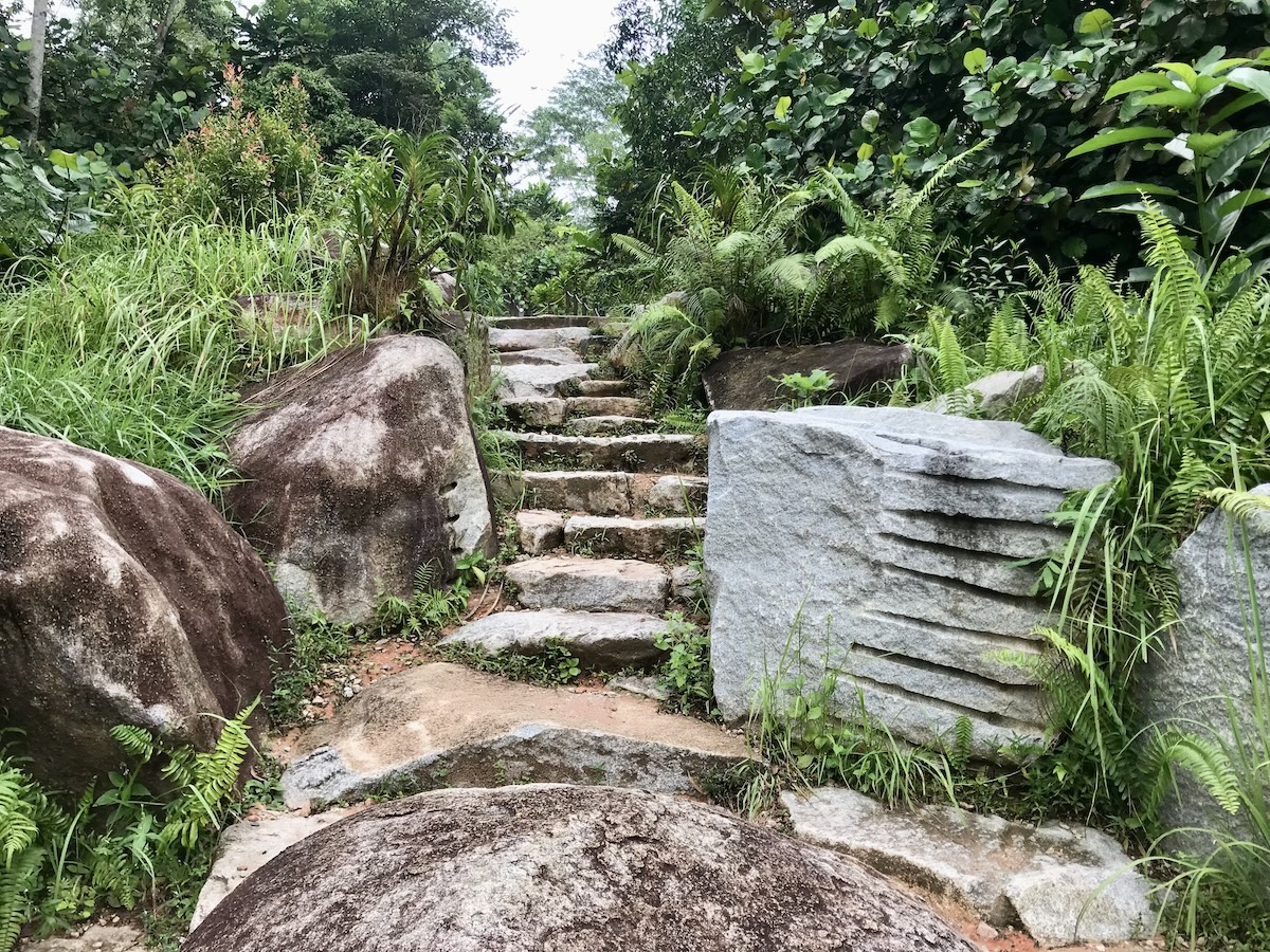
Secondly, the hiking trails leading to the peak of Bukit Timah are more rugged and greater change in elevation. Starting from the Dairy Farm car park, the loop trail to Bukit Timah is a total of 6.8km. So if you want a hill workout, or if you are training for a real hike, you might consider hitting up these trails/stairs.

Lastly, Dairy Farm Nature Park allows visitors to step back in time and get a glimpse of Singapore’s history. British adventurer Alfred Wallace roamed this area in the 1850s. The Wallace Trail at Dairy Farm, as well as the Wallace Education Centre, where you can learn more about the native flora and fauna of the Malay Peninsula, are named in his honor.

You can also see the remnants of a former kampong, or village, at Dairy Farm. The brick walls of old buildings, durian trees, and clear streams the villagers would have used, are signs of Singapore’s bygone era you can see along the Wallace Trail.
And yes, this was once a working dairy farm, but the cows are long gone.
Where it’s at: https://maps.app.goo.gl/7E6Qg7CEuUqRazCf9
Trail map: Link

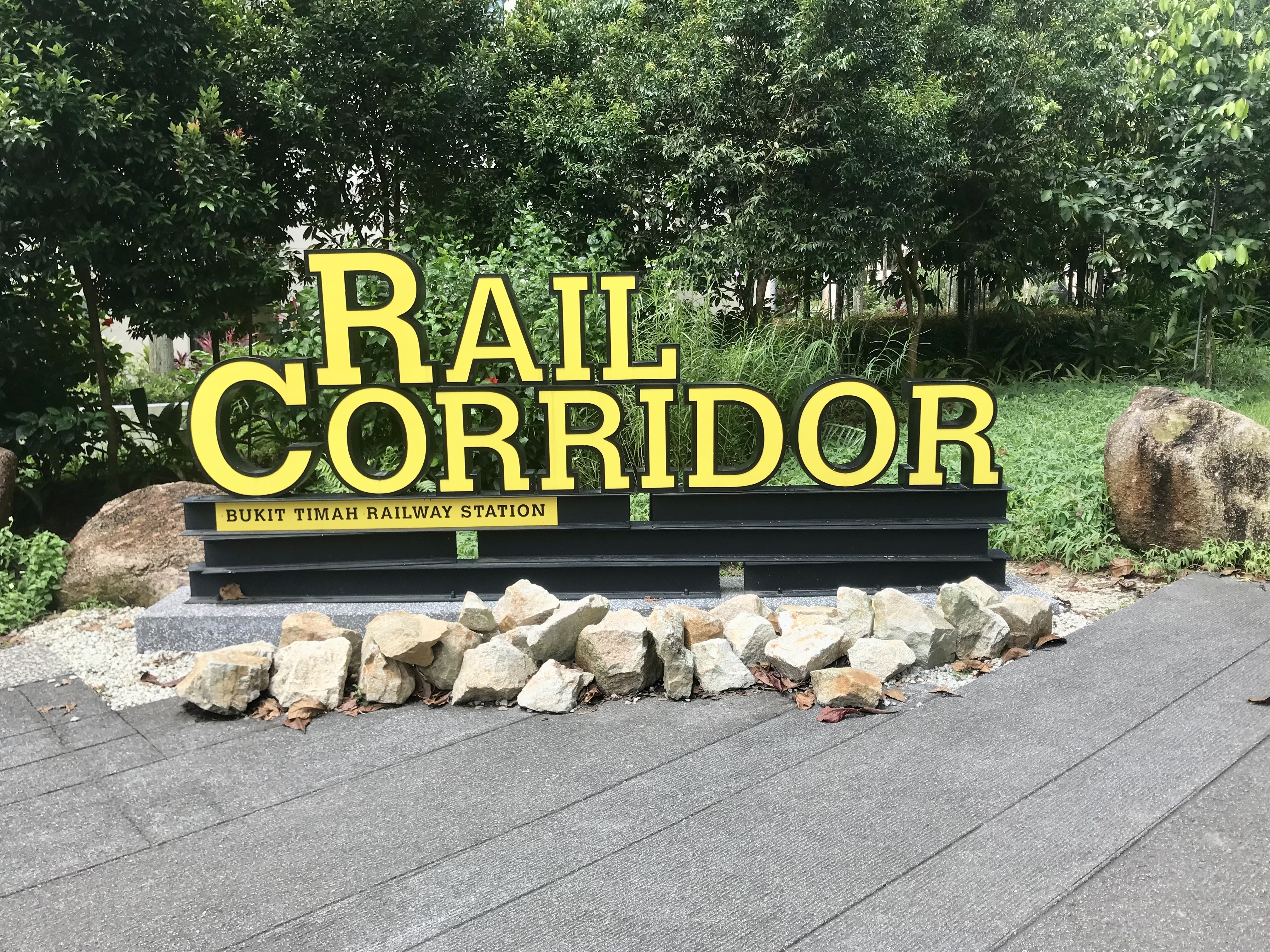
4. Rail Corridor
I’ve already written an entire blog about the Rail Corridor, the trail that nearly runs the entire length of Singapore from north to south for a total of 24km. The trail is split into three sections.
The northern section is a 10km hike from Kranji MRT Station to Hillview MRT Station. The central section, the shortest section coming in at 4km, heads from Hillview MRT to newly restored Bukit Timah Railway Station near King Albert Park MRT Station. From there the 10km southern section ends near Tanjong Pagar MRT Station.
The entire length of the trail is flat, well-marked, and well-maintained. You could potentially complete the full hike in one day.
For families, I highly recommend the 4km central section. The northern and southern sections are relatively boring, whereas the central section is where you will find the renovated remnants of the Singapore-Kranji Railway, Singapore’s first railway.

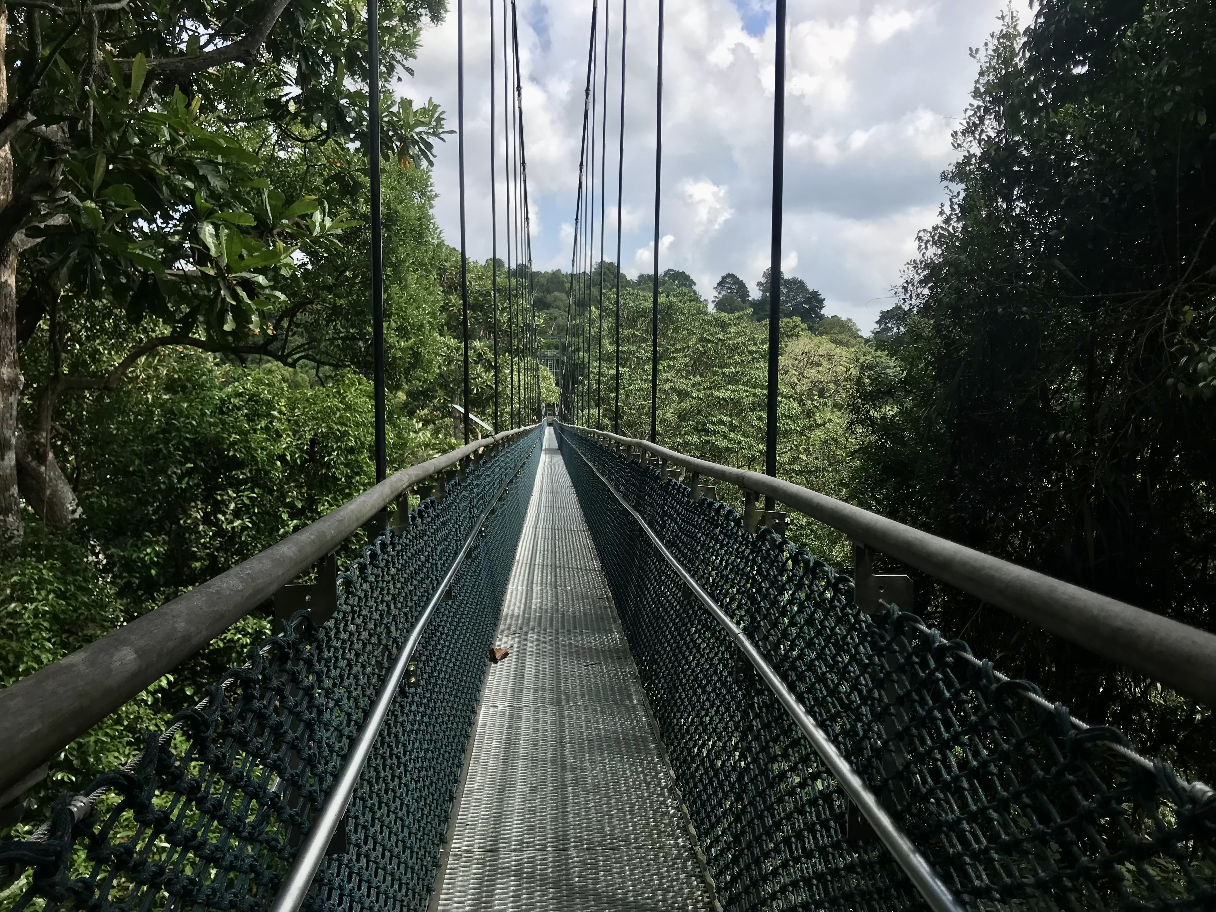
A total of two truss bridges remain in place in the central section and, reopened in 2021 after two years of extensive refurbishment, you get to walk across them as part of your journey on the Rail Corridor. Between the two truss bridges, you will also pass through a section of Bukit Timah Nature Reserve.
For two kilometers or so you can pay witness to some of that pristine nature, especially the wildlife, with colorful butterflies flitting about and, of course, the monkeys.

After exiting the Bukit Timah Nature Reserve, you cross the Bukit Timah Truss Bridge over the buzzing Pan-Island Expressway. On the other side you reach the Bukit Timah Railway Station community node.

This is a lovely spot to refresh and experience a bit of Singapore’s unique history. The Bukit Timah Railway Station itself, opened in 1932, has been restored to its original glory and repurposed as a heritage gallery. There is a café on site offering gelato, all-day breakfast, as well as beer.
There is also the restored Railway Staff Quarters, a spice garden, covered picnic shelters, and a small outdoor auditorium of sorts. A great stop especially if you are with kids.
Where it’s at: https://maps.app.goo.gl/ZAkC7HMoWGYTbEvu5
Trail map: Link

5. MacRitchie Reservoir
The official name for this hiking area is the Central Catchment Nature Reserve, which lacks a certain ring, so it is generally referred to as MacRitchie Reservoir. The reservoir, the oldest in Singapore, is at the center of the nature reserve, offering a range of water activities.
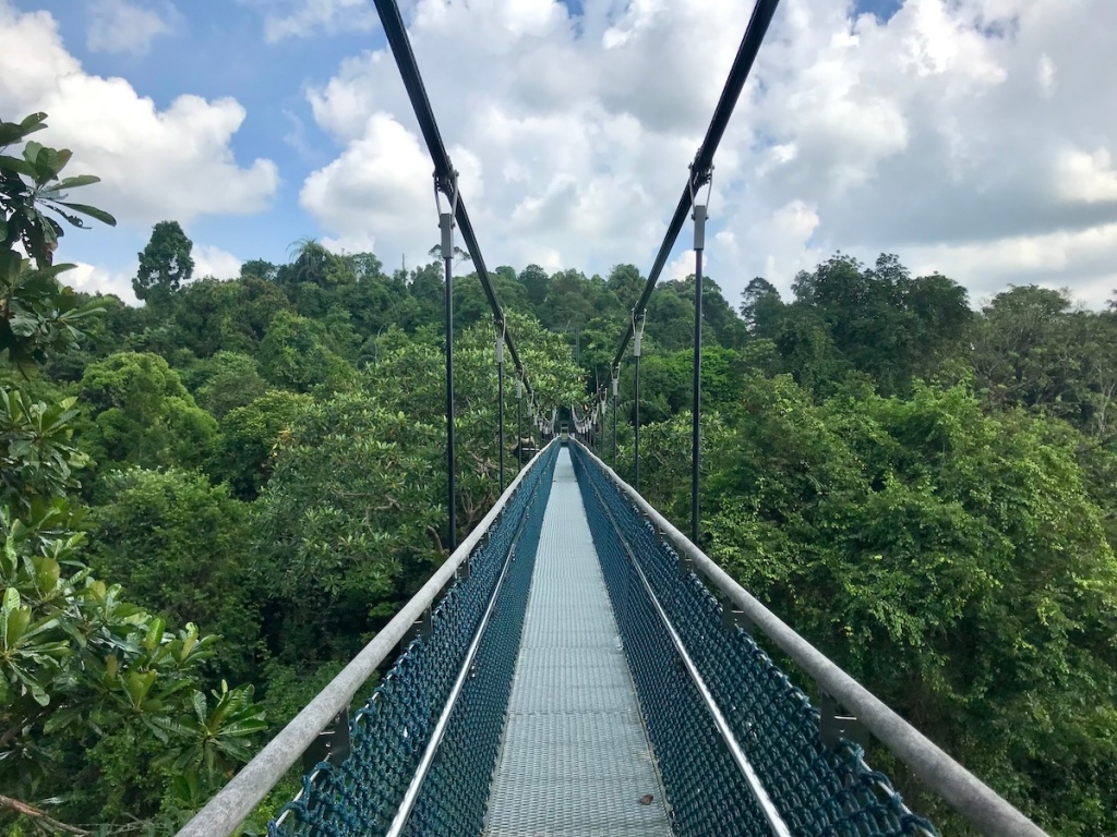
A well-maintained boardwalk runs along a section of the reservoir, and there is a bevy of nature trails to choose from ranging from 3km to 11km. Most visitors come here for the TreeTop Walk. The TreeTop Walk is a 250m-long freestanding suspension bridge that connects to two highest points in the nature reserve.
You can reach the bridge via a 7.5km trail that starts at Windsor Nature Park, or the 10.3km loop trail that starts at MacRitchie Reservoir Park. Simply because it provides easiest access from where I live, I have always started from MacRitchie Reservoir Park. I also enjoy the loop trail since you never have to backtrack.
The loop trail can be completed in three to four hours. It offers a little bit of elevation change and is popular with trail runners. There is also an abundance of wildlife to see, including native birds and macaques. On one trip I saw a litter of baby wild boar.

Overall, the nature reserve offers a lot of variety, beautiful jungle views, and relatively easy access. The downside is it is a popular park. One time the trail was closed, much to my chagrin, to host an international event.
There are often school and university clubs using the facilities, and you will run into day hikers of all ages and abilities. A good portion of the trail passes by a golf course, so it is difficult to feel like you are escaping the city.
But, that’s Singapore. Rarely are you able to escape the sound of construction or traffic. At least MacRitchie can offer a short respite.
Where it’s at: https://maps.app.goo.gl/EBvUcwXNX5s2Cksa8
Trail map: Link

6. Sungei Buloh Wetland Reserve
Saving the best for last.
The only reason Sungei Buloh Wetland Reserve is the last entry is because it is the last place I visited. I first heard about these wetlands from a mom from school at a barbecue. She told me there was this place on the west side of Singapore where you could see crocodiles in the wild.
I’m a sucker for fierce creatures. One day I will write a blog about all five of my bear encounters. But let’s not fly too far off the rails just yet. Today we are talking about crocodiles. One crocodile, to be exact. One crocodile lazing on the banks of Sungei Buloh Besar.

There isn’t much history to Sungei Buloh Wetland Reserve. It’s a crocodile-infested mangrove swamp. For the most part people stayed away.
That was until 2002 when the nature reserve was recognized as an important site for migratory birds and was named the first ASEAN Heritage Park in Singapore. (It is also one of six natural mangroves remaining in Singapore.)

So you got a lot of birds, one crocodile, and a really nice boardwalk. The only trouble is it is so far away. Sungei Buloh Wetland Reserve is in the northwest corner of Singapore. If you live on the west side, particularly in the Woodlands or Jurong areas, then it isn’t too far of a reach. For an east sider like myself, it was an hour-and-a-half commute on public transportation, and that was after dropping off my kids in the CBD.
Let me tell ya, it was worth the trip.

First off, the wetland reserve was the first place in Singapore where I was fully immersed in nature. Not a car or truck to be heard, not a construction crane in sight.
Secondly, there was wildlife galore. There were kingfisher and tiger shrikes fluttering about in the mangrove trees. There were herons and egrets wading in the mud flats. There was a sea otter frolicking in the river.
There were ornamental tree-trunk spiders as large as my seven-year-old’s hand hanging out in their webs. There were more monitor lizards than I can count ready to give you a fright as you round a bend in the trail.
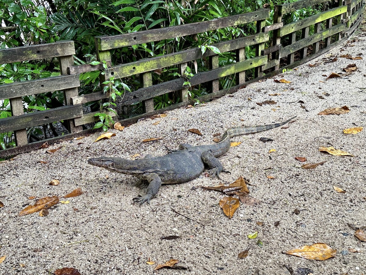
Then at the end of the trail, just as I had given up hope of seeing one, there was the one enormous crocodile.
To see all this wildlife, and to be able to identify them, start at the Visitor Centre. There is a nice gallery here with pictures and facts of all the wildlife living in the reserve. There is also a café here, vending machines, and clean restrooms.
Take the 1.3km Coastal Trail and hike along the Kranji Reservoir about 30 minutes to reach the Wetland Centre, which has the same amenities as the Visitor Centre, as well as a Lookout Point.

Cross the Main Bridge over the Sungei Buloh Besar to reach the Migratory Bird Trail. The loop trail is almost 2km and takes about 45 minutes to complete. There are plenty of viewing screens along the trail where you can hide behind wooden walls to watch the wildlife through peepholes. It was at the very last viewing screen that I saw the crocodile.
In total, if you explore all of the trails, take time to snap pictures, and stop for a snack or lunch, you will spend three hours at Sungei Buloh Wetland Reserve. The same as the travel time. (Just take a car.)
Where it’s at: https://maps.app.goo.gl/KKV6T5GHSS9iJLvC6
Trail map: Link
